
Open Air Lab Kitzsteinhorn
S
ince 2010, the unique Open Air Lab Kitzsteinhorn has been monitoring and measuring the atmosphere, terrain surface, and subsurface. Its goal is to document long-term changes in the high-alpine environment and gather reliable data for research, planning, and adaptation measures.
The term “Anthropocene” describes the profound impact of human activity on the Earth system. One of its most far-reaching consequences is climate change, whose effects are particularly visible and measurable in high-alpine environments. The Open Air Lab research team therefore focuses on four key areas: climate, glaciers, permafrost, and rock stability.
The data collected in this open-air laboratory provide Gletscherbahnen Kaprun AG with an important basis for future planning, projects, and decision-making.
Taking the Mountain's Pulse
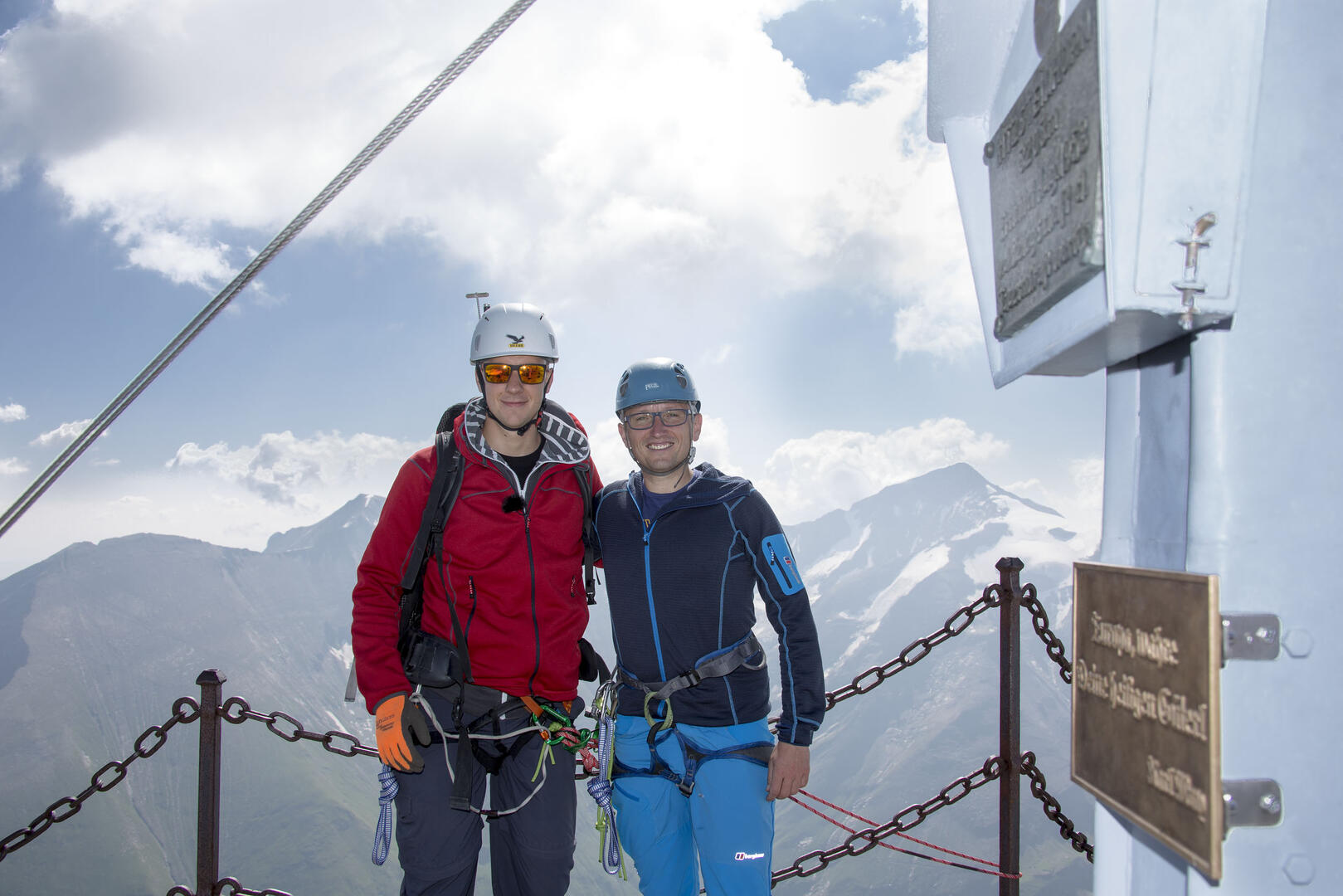
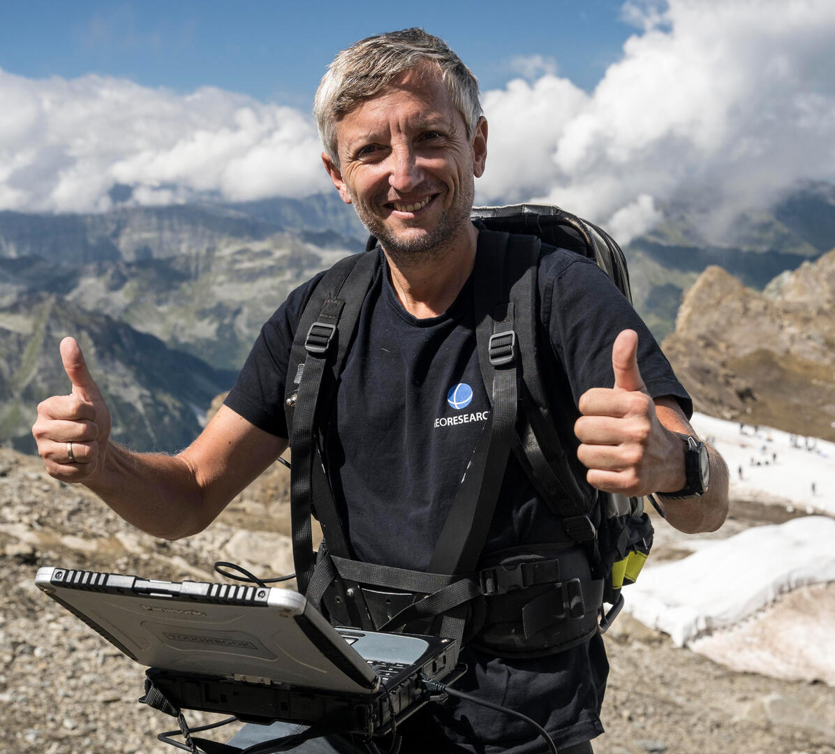
With its glaciers, permafrost zones, freestanding pyramid-shaped summit, and existing cable car infrastructure, the Kitzsteinhorn summit region offers ideal conditions for studying environmental change in the high-alpine environment. Ingo Hartmeyer and Markus Keuschnig are geomorphologists and jointly head the GEORESEARCH research organization.
The Open Air Lab is operated by GEORESEARCH and Gletscherbahnen Kaprun AG, with the support of scientific project partners. Both researchers agree that Kitzsteinhorn is an ideal research site:
“The summit rises freely like a pyramid, creating ideal conditions for studying environmental influences in the high-alpine environment. The mountain’s three flanks are also where nature conservation, energy production, and tourism intersect directly—with Hohe Tauern National Park, the Kaprun high-mountain reservoirs, and the facilities operated by Gletscherbahnen Kaprun. This makes Kitzsteinhorn one of the most multifaceted mountains in the Alps from our perspective. Its modern infrastructure also makes it easier for our team to access the research sites in the high-alpine terrain.”
A Thermometer Deep Inside the Mountain
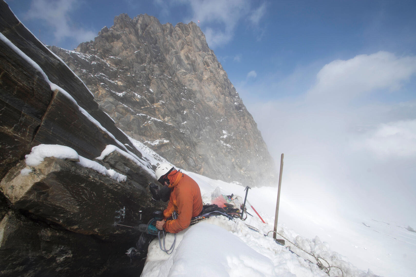
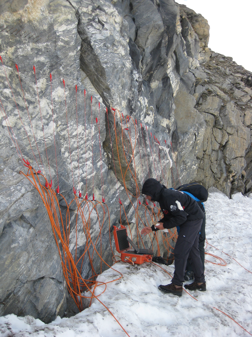
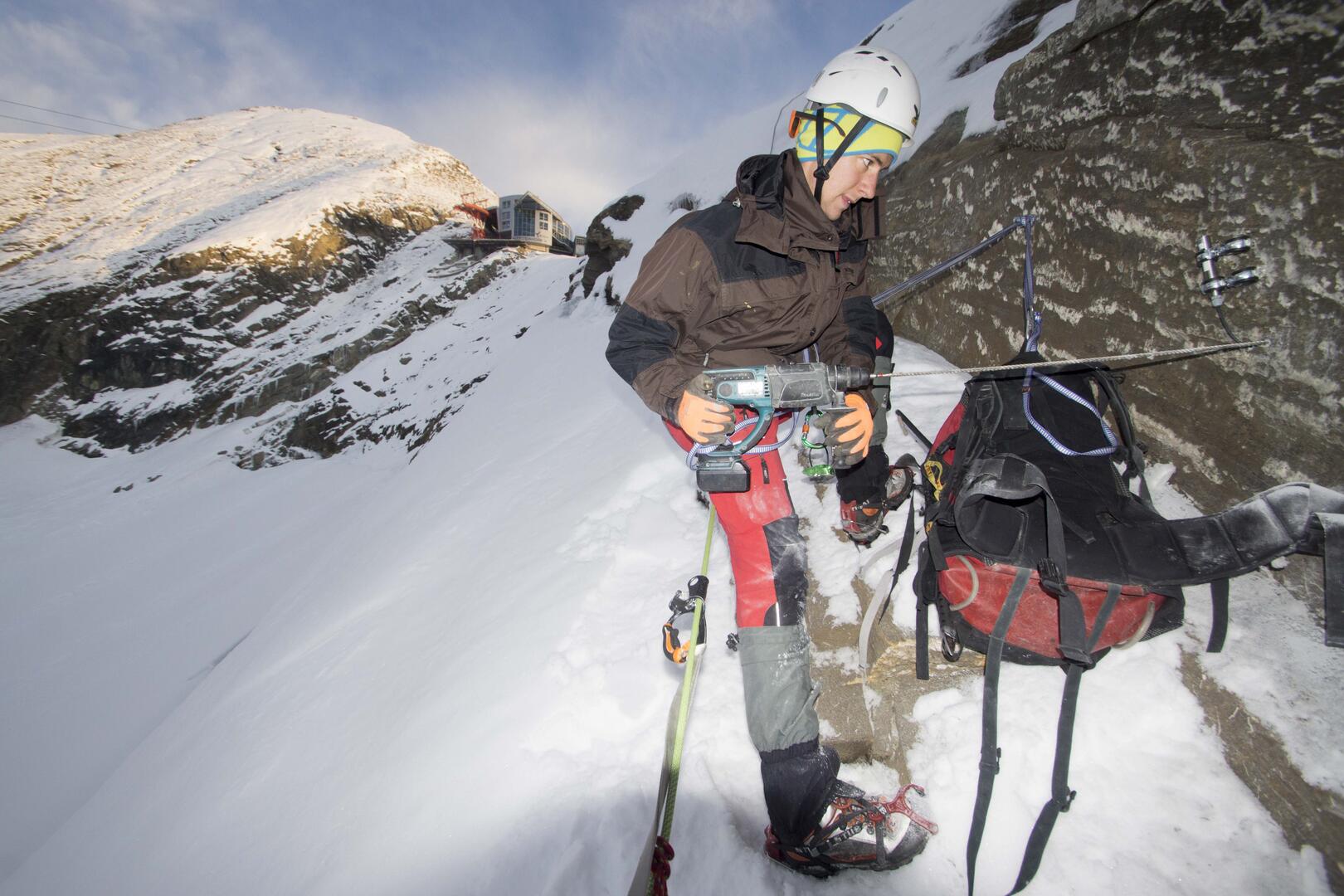
Since 2010, the terrain surface, subsurface, and atmosphere have been studied as part of an extensive monitoring program. Permanent temperature sensors extend deep into the mountain like thermometers, providing the research team with data on changes in the frozen subsurface.
Ingo Hartmeyer explains:
“Permafrost acts like glue in the mountains, helping hold the rock together. As the permanently frozen ground warms and the summer active layer deepens, sections of rock can become more susceptible to instability. Kitzsteinhorn is one of only two sites in Austria where the thickness of the summer active layer is monitored directly.”
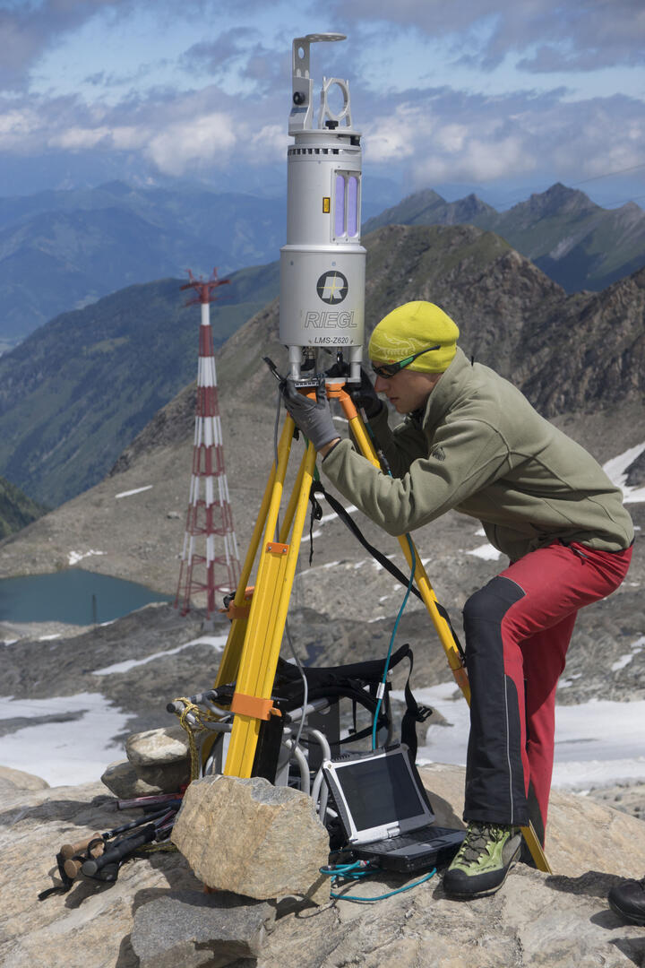
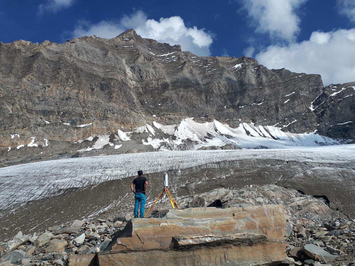
Changes in the rock faces are also recorded at the surface. Repeated high-resolution laser scans turn the rock faces into three-dimensional models, revealing even the smallest changes.
Markus Keuschnig emphasizes:
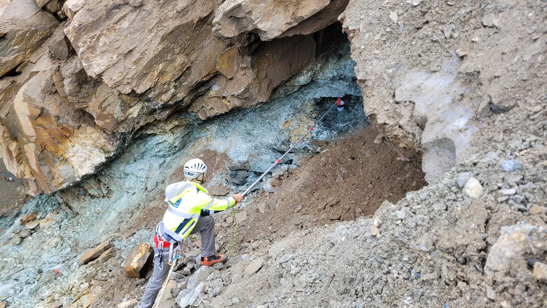
“In terms of both monitoring duration and level of detail, the laser-scanning program at Kitzsteinhorn is the world’s most extensive high-alpine rockfall monitoring program. Particularly high levels of rockfall and rockslide activity can be observed in areas along the glacier margin that have been exposed by the retreat of the Schmiedingerkees glacier.”
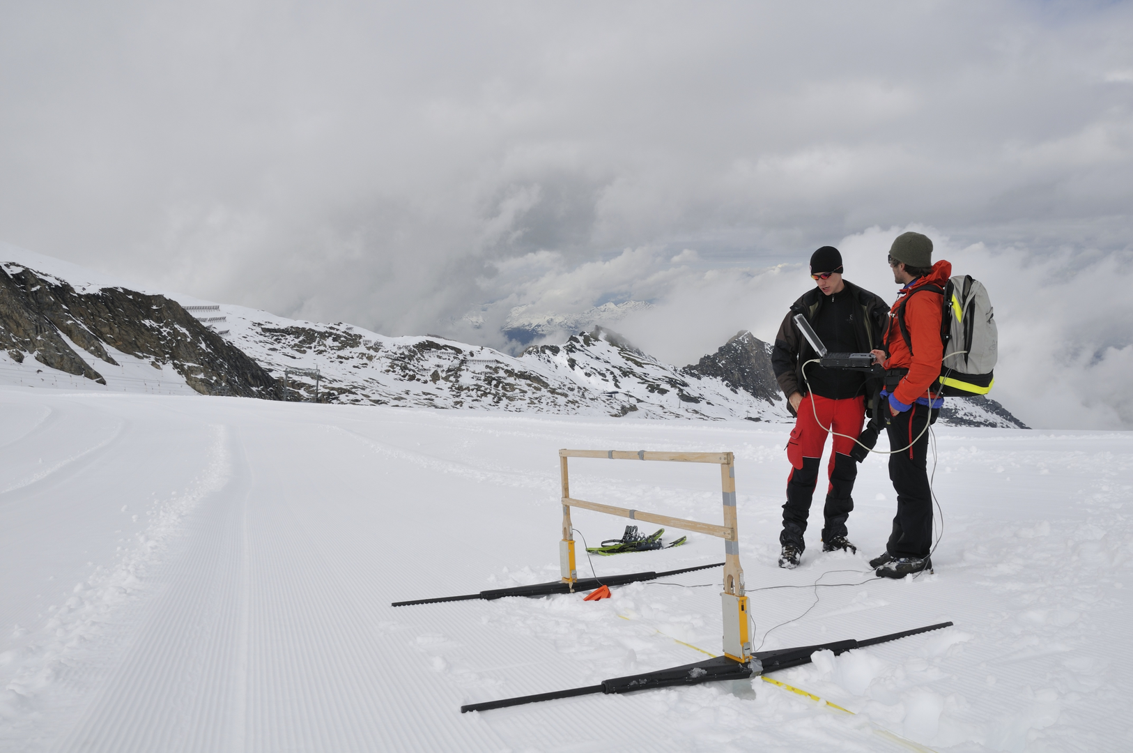
In addition to permafrost and rock stability, the monitoring program also focuses on climate and glaciers. Weather stations at different elevations record changes in climatic conditions. Ground-penetrating radar is used to measure the ice thickness of the Schmiedingerkees glacier, while regular drone surveys document its surface and how it changes over time. Thanks to this dense network of measurements, Schmiedingerkees is one of the few glaciers in Austria whose volume can be determined precisely.
Preparing for Future Challenges
One of the Open Air Lab’s distinguishing features is the long-term partnership between scientific research and a privately owned company. When the original project phase ended in 2017, then CEO Norbert Karlsböck was convinced that research at Kitzsteinhorn should continue over the long term. Gletscherbahnen Kaprun AG has funded the Open Air Lab ever since.
Norbert Karlsböck explains:
“We know that high-alpine regions face major challenges. The long-term measurements carried out in our open-air laboratory provide us with a solid data foundation that helps us plan future projects more effectively.”
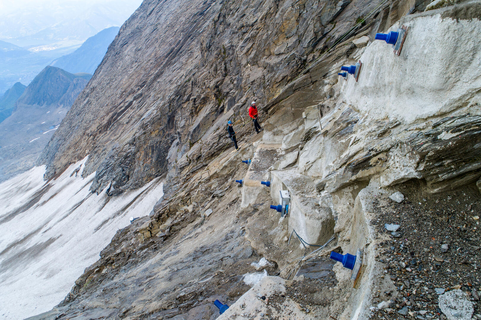
The research infrastructure includes high-precision crack sensors that record even the smallest movements in the rock faces and provide additional data for assessing natural hazards in the high-alpine environment.
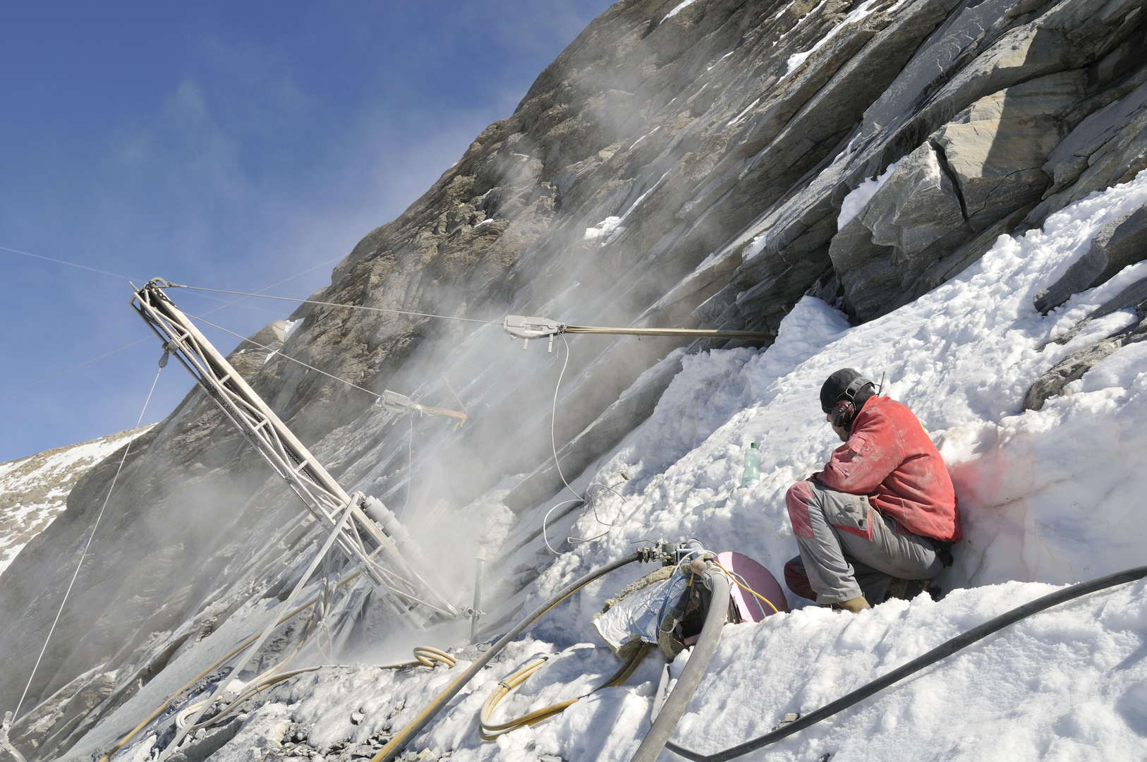
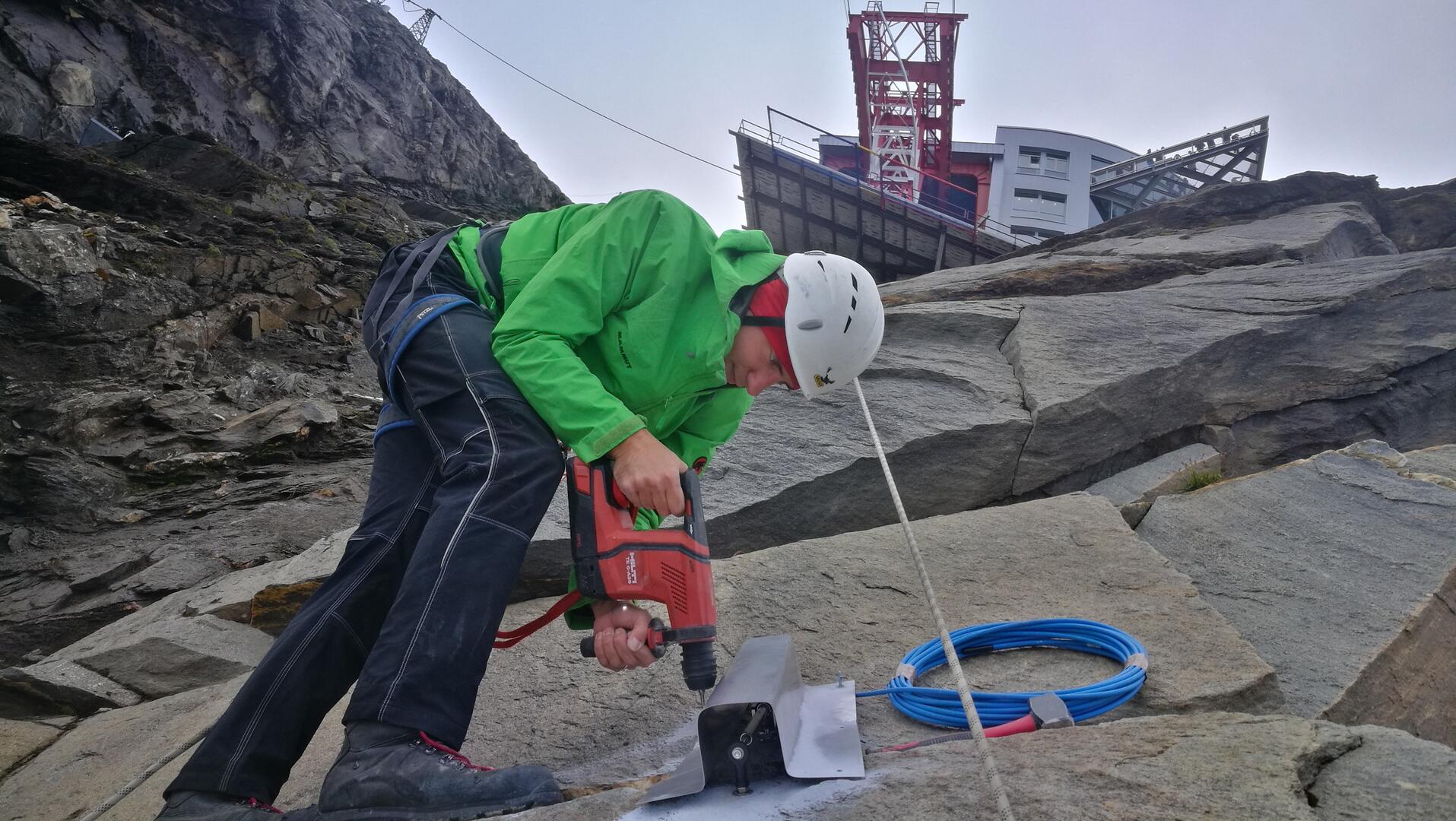
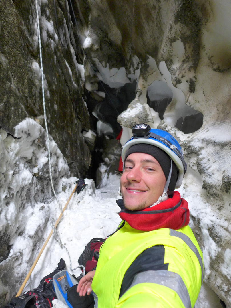
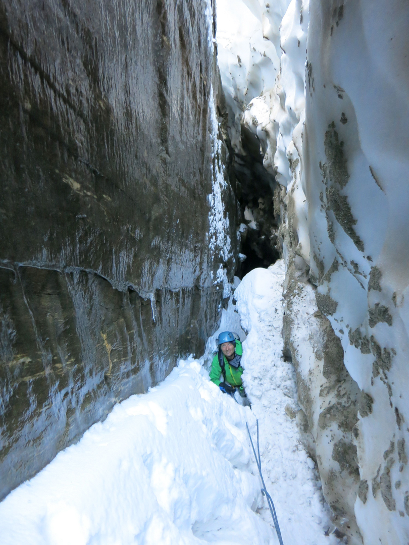
Summer is the most important season for the geomorphologists’ fieldwork. Secured by ropes, they descend into marginal crevasses to take measurements or drill deep holes into the rock while wearing helmets, safety harnesses, and protective work clothing so that temperature sensors can be installed. Drones document the glacier surface, while laser scanners reveal even the smallest changes in the rock faces.
“As a geomorphologist, you definitely have to be at home in rugged terrain. After all, our work often takes us well beyond the beaten path. But for scientists like us, that’s in our blood,” the two researchers say with a laugh.
Anyone who encounters Ingo Hartmeyer or Markus Keuschnig while they are working at Kitzsteinhorn is welcome to ask questions. In addition to media coverage and scientific publications, the two researchers consider personally sharing and explaining their work an important part of their educational mission.